
Do Drone Photos Help Sell Land?
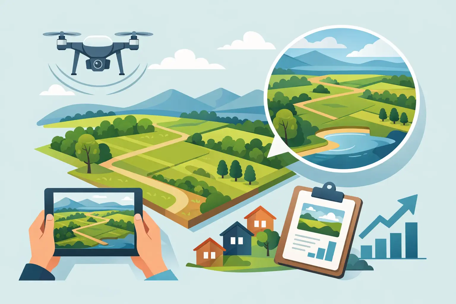
A vacant land listing gets judged in seconds, and flat ground-level photos usually do it no favors. If you have ever wondered, do drone photos help sell land, the short answer is yes – especially when buyers need to understand shape, access, surroundings, and usable space before they ever schedule a call.
Land is harder to market than a house because there is no kitchen, no staging, and no obvious focal point to carry the listing. Buyers are trying to answer practical questions fast: Where does the property sit? Is it cleared or wooded? How close are the neighbors? Is there road access? What does the terrain actually look like? A well-shot aerial set answers those questions faster than a paragraph ever will.
Why drone photos work so well for land listings
Most land buyers are not shopping for finishes. They are shopping for potential. That means the presentation has to make the parcel easy to understand.
Ground photos can show trees, a gate, or a stretch of road, but they often fail to explain the full story. A drone image can show the lot lines in relation to the road, nearby homes, mountain views, creeks, open pasture, and how the property sits within the surrounding area. That context matters because buyers are not just buying acreage. They are buying privacy, access, buildability, topography, and future use.
This is where aerial media earns its keep. Better understanding usually leads to better engagement. More engagement means more clicks, more inquiries, and more qualified showings. For agents, that is the real value.
Do drone photos help sell land in every case?
Not automatically. Drone photos help when they are used with purpose.
A random set of high-altitude images is not enough. If the photos are too far away, too low quality, shot in bad light, or missing key angles, they can leave buyers just as confused as they were before. In some cases, poorly executed drone work can make a property feel smaller, less accessible, or more awkwardly shaped than it really is.
The best aerials are designed to answer buyer questions. They show the entry point, the road frontage, the depth of the parcel, the neighboring context, and any standout feature that helps the buyer picture the opportunity. That could be open pasture, a ridgeline, mature timber, water frontage, or proximity to town.
So yes, drone photos help sell land – but only when the media is strategic, not just flashy.
What buyers want to see from the air
Land buyers tend to be practical. They want quick visual proof.
The first thing they usually want is orientation. They need to know where the property starts, where it ends, and how it connects to the road. Aerial photos make that easier to grasp. This is especially useful for irregular parcels that make little sense from a map thumbnail or from eye-level photos taken at the roadside.
They also want to understand the terrain. Is the lot flat enough to build on? Does it slope hard? Is it mostly usable, or does a large section drop off or sit in heavy tree cover? Aerial angles can reveal contours and open areas in ways ground photos cannot.
Context is another major factor. Buyers want to know what surrounds the land. Is it tucked away and private, or close to neighboring homes? Is it near commercial activity, power lines, busy roads, or a view corridor? In markets like Waynesboro, Staunton, Harrisonburg, and surrounding areas, that surrounding context can strongly affect perceived value.
And then there is the emotional side. Good drone photography gives vacant land a point of view. It helps buyers imagine a homesite, a retreat, a farmette, or an investment. That emotional connection matters more than many agents assume.
When drone photography makes the biggest difference
Some properties benefit from aerials more than others.
Larger parcels are the obvious example. Once a property stretches beyond what can be understood from the road, drone photos become close to essential. The same is true for lots with mixed features, such as partial woods and pasture, creeks, ponds, or multiple possible building sites.
Lots with views also benefit. A ground photo might hint at a mountain backdrop, but an elevated image can actually show the view corridor and the position of the homesite relative to it. That is often the difference between a buyer scrolling past and a buyer booking a showing.
Aerials also help with rural or hard-to-navigate properties. If access is via a gravel road, shared drive, easement, or a less obvious turnoff, drone photos can reduce confusion and build buyer confidence. For out-of-area buyers, that clarity is even more valuable.
On the other hand, a very small in-town lot may not need a full drone-heavy package. If the property is simple, flat, and easy to understand from standard photos plus a plat map, drone coverage may be helpful but not critical. The right answer depends on how much explanation the property needs.
The biggest mistake agents make with land marketing
They assume a few photos are enough.
With homes, buyers can fill in gaps because the format is familiar. With land, they cannot. If the visuals do not explain the parcel, buyers tend to move on rather than work harder to figure it out. That is why land listings often underperform when the media package is treated like an afterthought.
This is also why one or two drone shots rarely do the job. Buyers need a visual sequence. They need a hero angle, a mid-range perspective, a wider context shot, and clear views of access and notable features. The goal is not simply to prove the drone was used. The goal is to reduce uncertainty.
Reducing uncertainty is what drives response.
Drone photos versus drone video for land
For many land listings, still photography does the heavy lifting. Sharp aerial stills are easy to scan, easy to upload, and easy for buyers to use when comparing multiple properties.
Drone video can add value when the property has movement, flow, or scale that benefits from a flyover. Think long drive approaches, rolling terrain, water features, or a sequence that moves from road access to homesite to view. Video can also help on social media, where attention is short and motion tends to perform well.
But if budget is limited, strong still photography usually comes first. A polished set of aerial images will often do more for the listing than a weak video clip. The best choice depends on the property, your marketing plan, and where you expect buyer attention to come from.
What makes drone land photos convert better
Quality matters, but relevance matters more.
The strongest drone photos are captured in good light, with enough height variation to show both detail and context. They avoid making the parcel look distant or abstract. They also prioritize the selling points of that specific property instead of relying on the same generic overhead angle every time.
Editing matters too. Clean, natural color and proper contrast help buyers read the landscape quickly. Overprocessed images can make grass, soil, and tree cover look misleading. For land, credibility is part of conversion.
If the listing includes boundary overlays or labeled reference points, those should be used carefully. Helpful overlays can improve understanding. Sloppy or inaccurate ones can create confusion or liability. The media needs to support the sale, not create new questions.
The agent payoff is bigger than the photos themselves
Drone photography does more than improve one listing. It strengthens your listing presentation.
When you can show sellers how you market land differently – with media that highlights boundaries, access, topography, and surrounding appeal – you are no longer competing as just another agent with a phone camera and a sign. You are showing a process built to attract attention and move property.
That matters with landowners, especially when a parcel has sat with little activity under a previous agent. Better visuals can reframe the opportunity, create stronger first impressions online, and give the listing a better shot at fresh momentum.
For agents who sell repeatedly in rural and small-town markets, this is part of brand positioning. Consistent presentation tells sellers you know how to package difficult inventory and bring it to market professionally. That is exactly the kind of repeatable advantage Villa Views is built to support.
What to highlight in different types of land
The right aerial strategy depends on what is actually being sold.
For residential lots, focus on buildability, neighborhood context, road frontage, and view potential. Buyers want to picture the future house, not just the dirt. If utilities or cleared areas are visible, those details can help reinforce readiness.
For recreational land, privacy, trails, tree cover, water features, and terrain variation are often more important. Here, the aerials should show experience and use. A parcel that feels secluded and usable tends to generate stronger emotional response.
For agricultural or open land, buyers care about field layout, access for equipment, fencing, and the relationship between cleared and wooded ground. In these cases, overheads and mid-level images often do more work than dramatic beauty shots.
For investment parcels, context becomes critical. Proximity to growth corridors, neighboring development, road networks, and surrounding land use can shape perceived upside. Aerial photos should support the investment case without making claims the listing cannot support.
Common mistakes that hurt land listings
The first mistake is relying on only one or two drone shots. That usually creates more questions than answers. One overhead image might prove the agent used a drone, but it does not tell a complete story.
The second mistake is flying too high for every image. Extremely high shots can flatten the property and make it harder to judge terrain, tree density, and usability. Buyers need a mix of heights.
The third mistake is using unclear or misleading boundary markings. If lines are added, they should be approximate and cleanly presented. Sloppy overlays can confuse buyers or create risk if they are interpreted as exact survey lines.
Another common issue is poor lighting. Midday light can work for clarity, but some parcels benefit from softer light that reveals contour and texture. Wooded lots, rolling terrain, and scenic tracts often look more dimensional when the light is working with the land instead of washing it out.
Finally, some listings lean so hard into scenic photography that they miss the practical basics. Beautiful photos help get clicks. Clear photos help get showings.
The full-property overview shot
The most useful starting image often shows the whole tract from high enough above to establish its shape and setting. For a property with clear boundaries, open ground, and a visible home or building site, this view helps buyers understand the layout in seconds.
A full-property overview works particularly well when the listing includes a combination of features: a residence near the front, pasture behind it, a pond off to one side, and woods at the rear. Rather than forcing buyers to piece that together from twenty ground photos, the aerial overview provides the big picture first.
Do not rely on this one image alone. A very high aerial can make a home, driveway, or building pad too small to read. Pair it with closer angles that explain the features buyers will care about most.
This view is the best fit for acreage homes, farms, estate parcels, and properties where the land itself is a major reason to buy.
The access and driveway view
Long driveways can be a selling point, but only when buyers can see where they lead. An aerial view from the public road toward the home can show gated access, the length and condition of the drive, tree cover, curves, and the amount of separation from neighboring properties.
This is especially valuable in rural markets, where a listing address alone may not explain the experience of reaching the property. A buyer may worry that a home is difficult to access, too close to the road, or hidden behind other houses. A clear access image replaces uncertainty with context.
The trade-off is privacy. If a property has security-sensitive features or an owner who prefers limited exposure, the media plan should be more selective. The objective is to show legitimate access and arrival, not reveal every detail of a private residence.
The nearby landmark and convenience view
Rural does not have to mean disconnected. For the right property, an aerial image can establish the relationship to a nearby town, major route, vineyard, trail, river, or mountain destination. This works best when proximity is genuinely relevant to how buyers will use the property.
A home with a private setting that is still a short, straightforward drive to Waynesboro, Staunton, or Charlottesville has two benefits to communicate: space and convenience. A carefully chosen wider aerial can support both without turning the image into a map.
Keep this approach grounded. Nearby landmarks should be visible enough to make the relationship clear, and any stated travel time should be verified separately. If the landmark is too far away to read in the frame, a standard location map and written listing description will do the job better.
Keeping aerial images credible and useful
Drone media is persuasive because it offers perspective buyers cannot get from the ground. That is also why it needs to be handled carefully. The best listing images are compelling without being misleading.
Avoid overly tight crops that make neighboring homes or roads disappear when they are relevant to the buyer decision. Avoid placing exact boundary overlays without verified information. Be thoughtful about nearby properties, people, vehicles, and sensitive details that do not need to be highlighted in the listing.
Weather and season also affect what aerial media can communicate. Leaf-off conditions may make land layout, driveways, and terrain easier to see. Green summer coverage can better convey privacy, landscaping, and pasture condition. Golden-hour light can create warmth, but clear midday conditions may be better for showing broad acreage accurately. It depends on what will help the buyer understand this specific property.
A professional drone operator also brings the operational side of the work: safe flight planning, airspace awareness, and a plan for weather changes. That reliability matters when your listing timeline is moving quickly and you need marketing assets ready for launch.
So, are drone photos worth it for land?
In most cases, yes.
If the property has acreage, views, access challenges, unique features, or anything that buyers need help understanding, drone photos are one of the most practical upgrades you can make. They do not replace pricing, positioning, or a solid listing strategy. But they can make the listing clearer, more clickable, and easier for buyers to act on.
And that is really the point. Great land marketing is not about adding flashy media for its own sake. It is about helping buyers see the opportunity fast enough to care.
When your photos answer the questions buyers are already asking, the listing has a far better chance of earning the next click, the next showing, and the right offer.
Listing photos that sell homes faster.
Professional real estate media with 24-hour delivery across Waynesboro, Staunton, and the Shenandoah Valley.
Book a Shoot