Drone Photography for Harrisonburg Homes That Sells
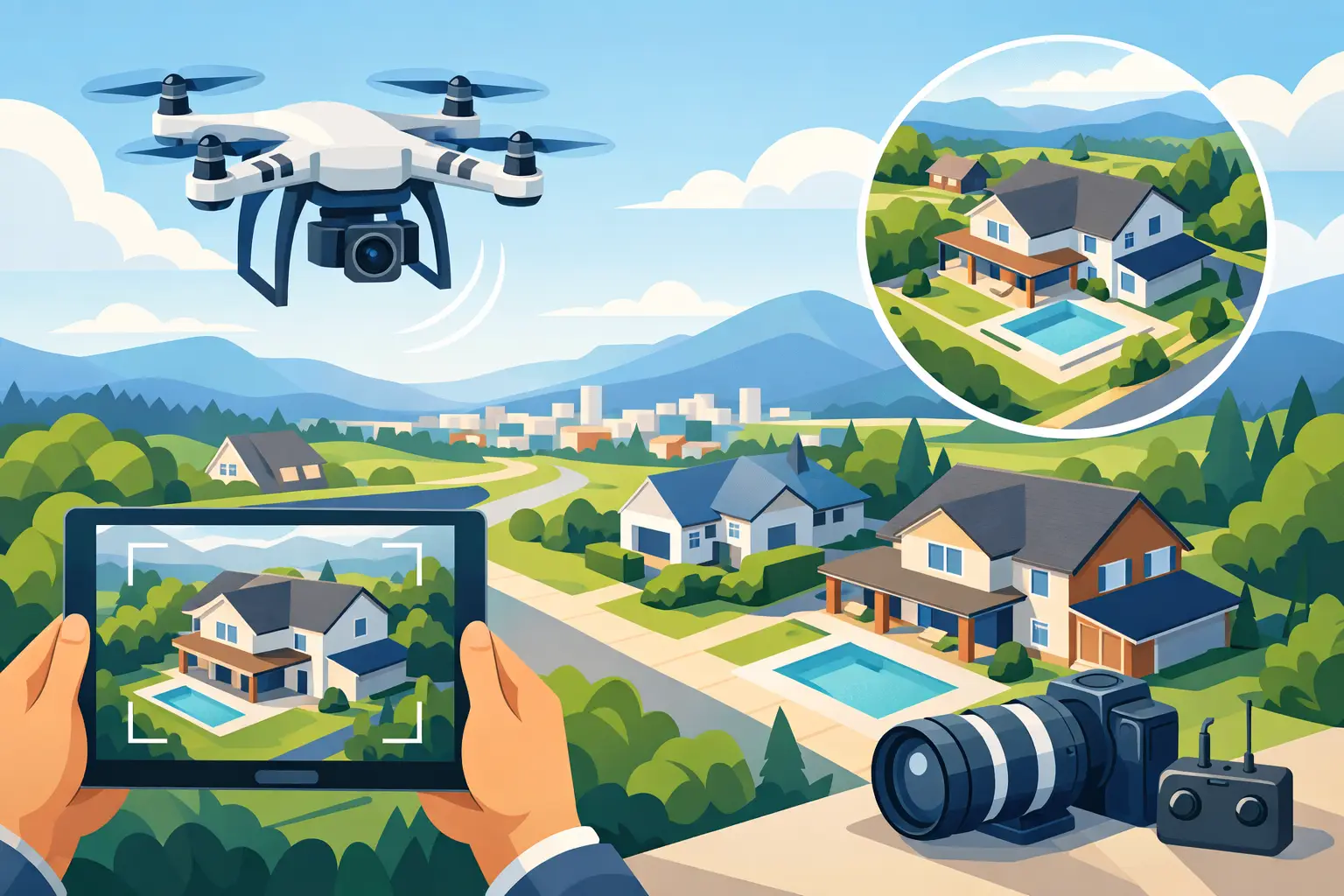
A buyer scrolling Harrisonburg listings can understand a home’s square footage from a floor plan. What they cannot always see from ground-level photos is the setting that makes the property worth touring: the mountain backdrop, the fenced acreage, the corner-lot position, or the walkable relationship to downtown. Drone photography Harrisonburg homes use well gives buyers that missing context before they ever schedule a showing.
For listing agents, aerial media is not about adding a flashy shot because every listing package should have one. It is a practical way to create more clicks, stronger first impressions, and a clearer value story. The right aerial images help a buyer see why this home, in this location, deserves attention.
When Drone Photography for Harrisonburg Homes Pays Off
Drone photography is most valuable when the property has something meaningful to show beyond its front elevation and interior finishes. Aerial photos can establish lot size, privacy, nearby amenities, access, terrain, and the relationship between the house and its surroundings in seconds.
That matters across Harrisonburg’s varied housing stock. A home on acreage outside the city may need an overhead view to show the full property boundary, barn, wooded buffer, or long driveway. A newer home in a planned neighborhood may benefit from images that show its cul-de-sac placement, green space, sidewalks, or proximity to community features. For an in-town property, drone images can communicate its position near parks, campus, downtown, or mountain views without making vague claims in the listing description.
Aerial media also helps when a home’s best feature is hard to capture from the ground. A deep backyard, a pool, solar panels, a detached garage, a large deck, or a creek-side setting can look disconnected in standard photos. From above, buyers see how those features work together.
There is a trade-off. A drone should support the listing’s strongest selling points, not distract from them. If a compact home sits tightly between neighboring properties with no distinctive surroundings, ground photography may carry more of the weight. The goal is not more images for the sake of more images. The goal is a better reason to click, tour, and make an offer.
What Buyers Learn From a Strong Aerial Set
The best drone photography answers questions that buyers are already asking. How much outdoor space is there? Is the home private? What is behind the property? How close are the neighbors? Is the yard usable? What does the approach to the home look like?
A well-planned aerial set generally includes a high, clean establishing view and a lower-angle image that feels more connected to the house. The higher shot shows context. The lower shot keeps the home as the hero while revealing the yard, landscape, and setting. For larger properties, an overhead perspective can show the full layout in a way a buyer can process immediately.
Video can add another layer when movement clarifies the story. A short aerial sequence approaching the property, rising above the treeline, or revealing the backyard can create a stronger listing introduction than a still image alone. It works especially well for acreage, premium homes, scenic settings, and properties where arrival experience matters.
The key is accuracy. Drone photos should present the property clearly, without exaggerated angles or misleading proximity to landmarks. Buyers may be attracted by an aerial image, but they will lose confidence quickly if the visual story does not match the showing experience.
Build Aerial Media Around the Listing Strategy
Before the shoot, decide what the aerial images need to prove. This is where agents can make the media work harder for the listing rather than treating it as a separate add-on.
For a home with a private lot, prioritize the buffer between the home and neighboring properties. For a property near JMU or downtown Harrisonburg, focus on location context that is visually clear and relevant. For a farmette or rural home, show usable acreage, outbuildings, driveway access, and the broader landscape. For a luxury listing, use aerial images to establish scale, architecture, outdoor living, and setting before buyers move into the interior gallery.
This planning also helps avoid shots that create confusion. If a nearby commercial property, road, utility line, or close neighbor is visible, the image selection should be intentional. Hiding obvious conditions is not the answer. Instead, lead with the views that accurately show the property’s advantages and let the full image set present a complete, professional picture.
Aerial images are most effective when they fit into a complete media package. Professional interior and exterior photography gives buyers the room-by-room story. Floor plans clarify layout. A 3D virtual tour helps remote or busy buyers spend more time with the property. Twilight images can create a premium final impression. The drone component gives the listing its place in the world.
Timing and Conditions Matter More Than the Drone
Aerial quality depends as much on light, weather, and property readiness as it does on equipment. A clear, calm day creates the cleanest results, but the best timing depends on the home and its orientation. Morning light may flatter a front-facing east exposure, while late-day light can give a backyard, patio, or west-facing façade more warmth.
Wind is another factor, particularly around open fields, ridgelines, and taller homes. A professional drone operator will work within safe flight conditions and may recommend a reschedule when weather will compromise the result. That is not a delay for delay’s sake. A dark sky, harsh shadows, or unsafe wind can turn a high-value marketing tool into an average image.
Agents can help by preparing exterior spaces just as carefully as interiors. Move vehicles from the driveway when possible, roll up hoses, secure trash bins, tidy patio furniture, and mow before the appointment. Aerial cameras see more than expected, including clutter behind the house, uneven outdoor staging, and unfinished landscaping. A few minutes of prep can protect the property’s best angles.
Compliance Protects the Listing and Your Reputation
Not every airspace situation allows the same type of flight. Airports, heliports, stadium events, weather conditions, and local restrictions can affect what is possible on shoot day. A commercial real estate drone operation should handle the required planning, authorization, and safety decisions rather than taking shortcuts for one dramatic shot.
This is especially important because aerial media is public-facing marketing. Agents need visuals they can confidently use across the MLS, social media, email campaigns, property websites, and listing presentations. Professional operation protects the quality of the work and reduces unnecessary risk for everyone involved.
It also sets realistic expectations. Sometimes the best available aerial angle will be lower, more focused on the home, or captured from a different side of the property. A skilled operator can still create useful, compelling media by working with the actual conditions instead of forcing a shot that should not be flown.
Use the Images Where Buyers Make Decisions
Do not let strong aerial photos become decorative extras buried at the end of a listing gallery. Use the most effective image early, especially when the lot, view, or location is a primary reason to buy. It can be the first image, the second image after a strong front exterior, or the visual that opens a short listing video.
Aerial media also gives agents a better story for social posts and listing appointments. Instead of saying a property has a great lot, show the lot. Instead of describing a home as close to amenities, provide a visual sense of location. These details make your marketing feel more prepared, more premium, and easier for sellers to understand.
For agents handling multiple listings, consistency matters. A dependable visual partner, clear online booking, and fast delivery keep marketing from becoming the bottleneck between signed paperwork and an active listing. Villa Views approaches drone media as part of that repeatable system: high-quality assets built to help homes earn attention and move buyers toward a showing.
The next time a Harrisonburg listing has acreage, privacy, a view, a standout backyard, or a location worth seeing from above, make the aerial plan part of the launch strategy. Buyers are already judging the setting from their screens. Give them a reason to picture themselves there.
Listing photos that sell homes faster.
Professional real estate media with 24-hour delivery across Waynesboro, Staunton, and the Shenandoah Valley.
Book a Shoot