
A Practical Guide to Aerial Listing Photography
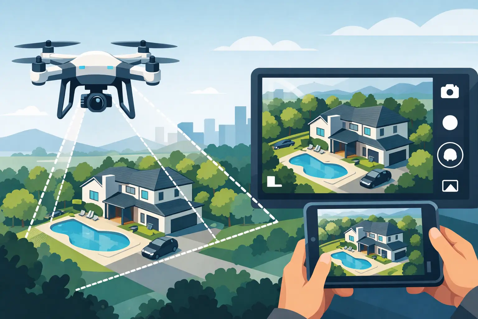
Aerial shots can make an average listing look expensive fast – but only when they answer a buyer’s questions. That’s the real point of a guide to aerial listing photography for agents: not getting a flashy drone image, but using elevated views to drive more clicks, stronger interest, and better showing activity.
If the photo helps buyers understand land, setting, privacy, access, or proximity to key features, it earns its spot. If it’s just a high shot of a roof, it’s decoration. Good aerial media should sell the property, support your price, and strengthen your presentation in the listing appointment.
Why aerial listing photography works
Most buyers start online, and most decide in seconds whether a listing feels worth their time. Aerial photography gives them context that standard ground-level images cannot. For larger lots, homes with mountain views, waterfront access, detached garages, pools, guest houses, barns, or strong neighborhood positioning, that context can be the difference between a scroll and a click.
It also helps sellers see your marketing strategy more clearly. When you show that you know when to use drone coverage and when to skip it, you look less like someone ordering media and more like someone managing a sale. That matters in competitive listing appointments.
There is a trade-off, though. Aerial media is not automatically valuable on every property. On a dense suburban lot with little visual separation, no usable outdoor features, and tight FAA or neighborhood constraints, drone images may add less than twilight photos, a floor plan, or stronger interior coverage. The best agents use aerials selectively and with purpose.
A guide to aerial listing photography starts with the right properties
The strongest candidates for aerial coverage usually share one thing: the overhead view reveals a selling point buyers cannot grasp from the ground. Acreage is the obvious example, but it is not the only one. Corner lots, cul-de-sac placement, long driveways, mountain backdrops, golf frontage, water adjacency, equestrian features, and homes with meaningful outbuildings all tend to benefit.
Newer agents sometimes assume luxury price point alone justifies drone photography. Sometimes it does, sometimes it doesn’t. A high-end home on a compressed lot may still need aerials for branding and presentation, but the real value may come from a lower-altitude image showing the backyard layout rather than a dramatic high pullback. Price matters, but visual story matters more.
In markets around Waynesboro, Staunton, Harrisonburg, and Charlottesville, aerial photography often performs especially well when a listing’s location is part of the value. Buyers shopping the Valley are frequently buying more than square footage. They are buying views, separation, land use, and setting. Aerials help you show that quickly.
What buyers actually want to see from the air
Buyers do not need ten drone photos that all say the same thing. They need a small set of useful perspectives. Usually, that means one clean hero shot, one image that shows lot boundaries or usable land shape, one image that explains the relationship between house and outdoor features, and one wider context shot if the surroundings add value.
The hero shot should still look like a home, not a map. That usually means a slightly elevated front-facing angle that keeps the property recognizable while adding dimension. This is often the most clickable aerial image because it feels premium without losing clarity.
The second job of aerial photography is explanation. If the property has a detached garage, workshop, pool, garden area, barn, creek, or long private drive, the overhead perspective should make that layout easy to understand. Confusion kills interest. Clear visual hierarchy helps buyers picture how the property lives.
The third job is context, but context has to help the sale. Nearby mountains, open land, water, trails, or neighborhood amenities can strengthen value. Power lines, commercial adjacency, traffic exposure, or less attractive neighboring uses can weaken the image. This is where experience matters. The camera goes up, but the strategy has to stay grounded.
Timing matters more than many agents realize
Light can make the same property look calm and premium or flat and forgettable. For aerial listing photography, the best timing is usually when the sun adds shape without creating harsh roof glare, deep black shadows, or blown-out sky. Midday can work, especially for practical documentation, but it is rarely the most flattering option.
Morning often works well for east-facing fronts and cleaner air. Late afternoon can add warmth and depth, particularly on homes with scenic western exposure. The right choice depends on the home’s orientation, tree coverage, season, and what part of the property matters most.
Wind matters too. Even quality drone equipment can only do so much when gusts are pushing the aircraft and softening the final image. Bare trees in winter, patchy grass in early spring, and leaf-heavy canopies in summer all change what the aerial story should emphasize. There is no one-size-fits-all capture window.
That is why operational reliability matters just as much as creative judgment. A smooth booking process, clear prep expectations, and fast turnaround make aerial media useful in the real world of listing deadlines.
Common mistakes that make aerial photos underperform
The biggest mistake is treating drone photography as a gimmick. When every listing gets the same high-altitude overhead shot, the result is predictable and low-value. Buyers stop seeing information and start seeing filler.
The second mistake is showing too much sky or too much roof. If the image feels disconnected from the property’s real selling points, it may look polished but still fail to convert. Aerial photography should clarify value, not just suggest production quality.
Another common issue is overediting. Color that feels radioactive, fake-looking grass, heavy sharpening, or dramatic HDR effects can make the listing feel less credible. Real estate media should look clean, bright, and accurate. Buyers want to be impressed, but they also want to trust what they are seeing.
Then there is the compliance side. FAA rules, airspace restrictions, weather limitations, and local conditions can affect whether a drone shoot is possible on a given day or at all. This is one reason agents benefit from working with a professional who handles aerial media as part of a repeatable listing process rather than as an occasional add-on.
How to use aerials in a full listing media strategy
Aerial photography works best as one part of a coordinated package. It gets attention, but it usually does not carry the whole listing. Buyers still need strong interiors, exterior ground shots, a floor plan, and often video or a 3D tour to move from curiosity to action.
Think about the buyer journey. The aerial image may win the click. The interior photos may justify the price. The floor plan may answer functional questions. The video or 3D tour may help an out-of-town buyer commit to a showing. Each asset does a different job.
That matters for your own business too. Sellers do not just want pretty photos. They want confidence that your marketing is built to generate demand. When you can explain exactly why a property needs aerials and how those images fit into the rest of the listing package, your value as the agent goes up.
For many agents, that is the real payoff. Better media is not only about selling the current property faster. It also helps win the next listing because your presentation feels more strategic, more polished, and more consistent.
Choosing the right aerial partner
A good aerial provider should understand real estate first and equipment second. That means they know which angles help a listing, which features should be emphasized, when conditions are working against the property, and how to deliver images quickly enough to support launch timelines.
Speed matters, but consistency matters more. If you list multiple properties per month, you need a partner who can produce strong work without extra hand-holding every time. Clear pricing, simple scheduling, dependable turnaround, and an understanding of what actually gets buyer attention are not extras. They are part of the service.
This is where a studio like Villa Views earns trust with agents. The value is not just that drone photography is available. It is that aerial coverage can be built into a repeatable, performance-focused listing workflow designed to help you get more clicks and stronger showing momentum.
When aerial listing photography is worth it
The short answer is simple: aerials are worth it when they make the property easier to understand and more compelling to view. They are especially effective when the lot, setting, layout, or surroundings are part of the sale. They are less effective when they are used only to make the listing feel fancier.
A practical guide to aerial listing photography comes down to one standard – every image should help move a buyer closer to action. If the drone shot earns attention, supports value, and fits into a smart listing package, it is doing its job. And when your media works that hard, your marketing starts working harder too.
Listing photos that sell homes faster.
Professional real estate media with 24-hour delivery across Waynesboro, Staunton, and the Shenandoah Valley.
Book a Shoot