
How to Use Drone Photos in Listings Right
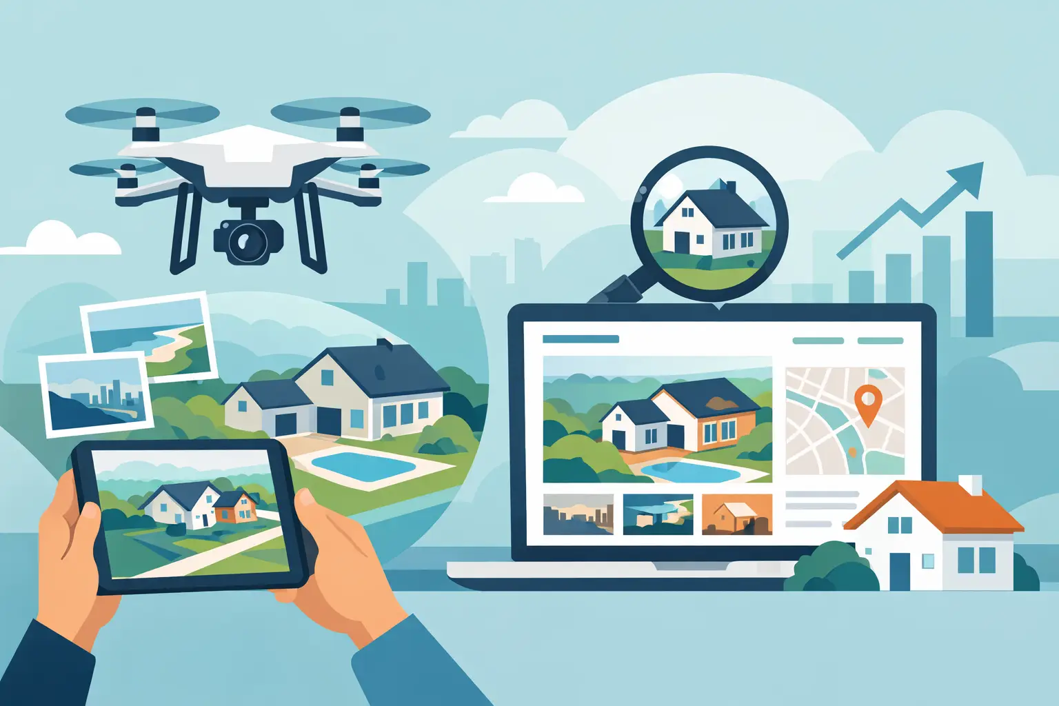
The fastest way to waste drone photography is to treat it like a flashy add-on. Buyers do not care that a home was photographed from 200 feet up. They care what those aerials help them understand faster than standard photos can. That is the real answer to how to use drone photos in listings: use them to remove doubt, add context, and create stronger first-click interest that leads to more showings.
For agents, that means drone images should do a job. They should clarify lot lines, show proximity to water or mountains, highlight privacy, reveal outbuildings, frame acreage, or explain a neighborhood setting that ground-level shots cannot capture. When used with that level of intent, aerial photos stop being decorative and start working like sales tools.
Why drone photos help listings perform
Online, buyers make snap decisions. They scroll fast, compare faster, and usually decide within seconds whether a property feels worth a closer look. Drone photos can earn that pause because they answer the question buyers are already asking: what is this home really like beyond the front door?
That matters even more when the property’s value is tied to features outside the structure itself. A long private drive, a large corner lot, mountain views, detached garage, barn, pool, nearby trail access, or distance between neighbors can all be hard to communicate from eye level. A strong aerial image gives the buyer the bigger picture immediately.
There is a trade-off, though. Not every listing gets the same return from drone coverage. A compact home on a tight suburban lot may benefit from one establishing aerial, while a rural property on several acres may need aerials to carry a major part of the story. The best use depends on what actually sells that property.
How to use drone photos in listings with purpose
The first rule is simple: lead with relevance, not novelty. If the best feature of the property is the renovated kitchen, the first image should probably still be the kitchen or the strongest exterior shot. Drone photos are most effective when they support the story of the listing, not hijack it.
Think of aerials as context shots with selling power. They work best when each image answers a buyer concern or supports a pricing argument. If the home backs to open land, show it. If it sits minutes from downtown Charlottesville but still feels tucked away, show both access and setting. If the lot shape or topography matters, a drone image can make that instantly clear.
This is where many listings go wrong. Agents order drone media, then upload a random overhead shot that looks impressive but tells the buyer almost nothing. A better approach is to choose images that communicate one clear point per frame. One image may show the home’s placement on the lot. Another may emphasize views. Another may show the relationship between the house, detached shop, and outdoor living space.
Match the aerials to the property type
Different listings need different drone strategies. A one-size-fits-all approach usually means you are paying for images you will not use well.
Acreage and rural homes
This is often where drone photography delivers the most obvious value. Buyers want to understand land, boundaries, access roads, tree coverage, terrain, and the placement of structures. Aerials can show how usable the property feels and whether the house is isolated, accessible, or both.
For these listings, wider angles usually matter more than dramatic close flyovers. Buyers are trying to assess utility and scale. Clear daytime aerials tend to outperform overly cinematic images when the goal is driving showings.
Homes with views or natural surroundings
If the property sells on scenery, use aerials to prove it. Mountain backdrops, water frontage, open farmland, or wooded privacy are all stronger when buyers can see the full relationship between home and setting.
But be careful with exaggeration. If the mountains are visible only from one corner of the lot or only at a certain elevation, the listing should not imply a view experience the buyer will not have from the deck or living room. Good drone photos build confidence. Misleading ones create disappointment at the showing.
In-town and neighborhood listings
Here, aerials are less about land and more about orientation. They can show neighborhood layout, corner-lot positioning, nearby green space, walkability to a commercial district, or the advantage of backing to trees instead of another row of homes.
One or two strong aerials are often enough. Too many can make a normal neighborhood lot feel like it is trying too hard.
Luxury or high-feature homes
For premium listings, drone photos can reinforce scale and lifestyle. Pools, outdoor kitchens, guest houses, carriage homes, long drives, gated entries, and larger estates all benefit from an aerial perspective. The key is restraint. Luxury presentation works best when every image feels intentional.
What drone photos should actually show
Aerials should answer practical buying questions while also making the listing more memorable. The strongest images usually show one of four things: setting, scale, features, or access.
Setting explains where the home sits in relation to its surroundings. Scale helps buyers understand lot size and space between structures. Features highlight things like a pool, patio, barn, or wooded buffer. Access shows roads, driveways, or proximity to amenities in a way that feels helpful rather than forced.
If an aerial shot does not clearly support one of those jobs, it may not belong in the final gallery.
Common mistakes that weaken listing performance
The most common mistake is overusing drone images. Five weak aerials do not add more value than two strong ones. In fact, they can water down the gallery and push better interior images further down.
Another mistake is using drone photos that are too high, too wide, or too vague. If buyers cannot quickly identify the subject property, the image loses power. The home should still feel like the hero of the frame.
Editing can also cause problems. Oversaturated grass, fake-looking skies, or overly dramatic sunset effects can make the whole listing feel less trustworthy. In real estate marketing, polished beats flashy. Buyers and sellers both respond better to media that feels clean, premium, and believable.
There is also a compliance side to consider. Some areas, neighborhoods, or nearby properties require extra care around privacy and airspace restrictions. Professional operators know how to shoot responsibly and legally. That protects your listing and your reputation.
Where drone photos belong in the photo order
Placement matters almost as much as the images themselves. If the property has a major aerial-worthy feature, use one drone image early in the gallery to establish context. Not necessarily first, but close to the top. Then return to ground-level photography to walk buyers through the home in a logical sequence.
For example, a mountain-view property might open with a polished front exterior, then a drone shot showing the setting, then move inside. A horse property might feature a front exterior, then an aerial showing the house, barn, paddock, and land layout before the interior sequence begins.
This balance helps buyers understand the property before they get lost in room-by-room detail. It also keeps the listing from feeling like a drone reel instead of a home for sale.
How drone photos support your listing presentation
Drone images do more than help buyers. They also help you win sellers. When you explain how to use drone photos in listings during a listing appointment, you sound more strategic and less like an agent checking a marketing box.
Sellers want to know how you will position their home to stand out. A good answer is not just, “We do drone photography.” A better answer is, “We use aerials when they help buyers understand the land, views, privacy, or location faster, because that drives stronger interest online.” That is a business case sellers understand.
This matters in markets like Waynesboro, Staunton, Harrisonburg, and nearby areas where property types vary widely. One listing may need a simple aerial to show neighborhood appeal. Another may need a full overhead perspective to communicate acreage and outbuildings. When you tailor the approach, your marketing feels smarter and your brand feels stronger.
A simple decision filter for busy agents
If you need a fast internal test, ask four questions.
Does the land, setting, or location help justify the price? Are there exterior features that buyers need to understand spatially? Will aerials improve the first impression online? And will the overhead view strengthen the listing more than it exposes weaknesses?
If the answer is yes to at least two or three of those, drone photos are usually worth serious consideration. If the answer is no across the board, spend the budget where it will move the needle more.
That is the bigger point here. Drone photography is not about checking a box. It is about improving performance. More clicks, better buyer understanding, stronger showing quality, and a more persuasive listing presentation to your seller.
Work with the right photographer, not just a drone pilot
A drone in the air is not the same thing as a conversion-focused listing strategy. You want someone who understands what makes buyers click, what sellers notice, and how aerials fit into the full media package.
That means thinking beyond whether the shots look cool. Are they framed to make the property easy to understand? Do they support the listing price? Do they complement the ground photography? Can the photographer deliver fast enough to keep your launch on schedule?
That last point matters more than agents sometimes admit. Great drone images are only valuable if they are ready when the listing goes live. Speed, consistency, and minimal back-and-forth are what turn media into an actual advantage.
The best drone photos do not call attention to themselves. They make the property easier to grasp, easier to trust, and easier to want. Use them that way, and they will do what good listing media is supposed to do – earn more clicks, create better showing momentum, and help buyers picture why this home is worth seeing in person.
Listing photos that sell homes faster.
Professional real estate media with 24-hour delivery across Waynesboro, Staunton, and the Shenandoah Valley.
Book a Shoot