Real Estate Drone Photography That Drives Showings
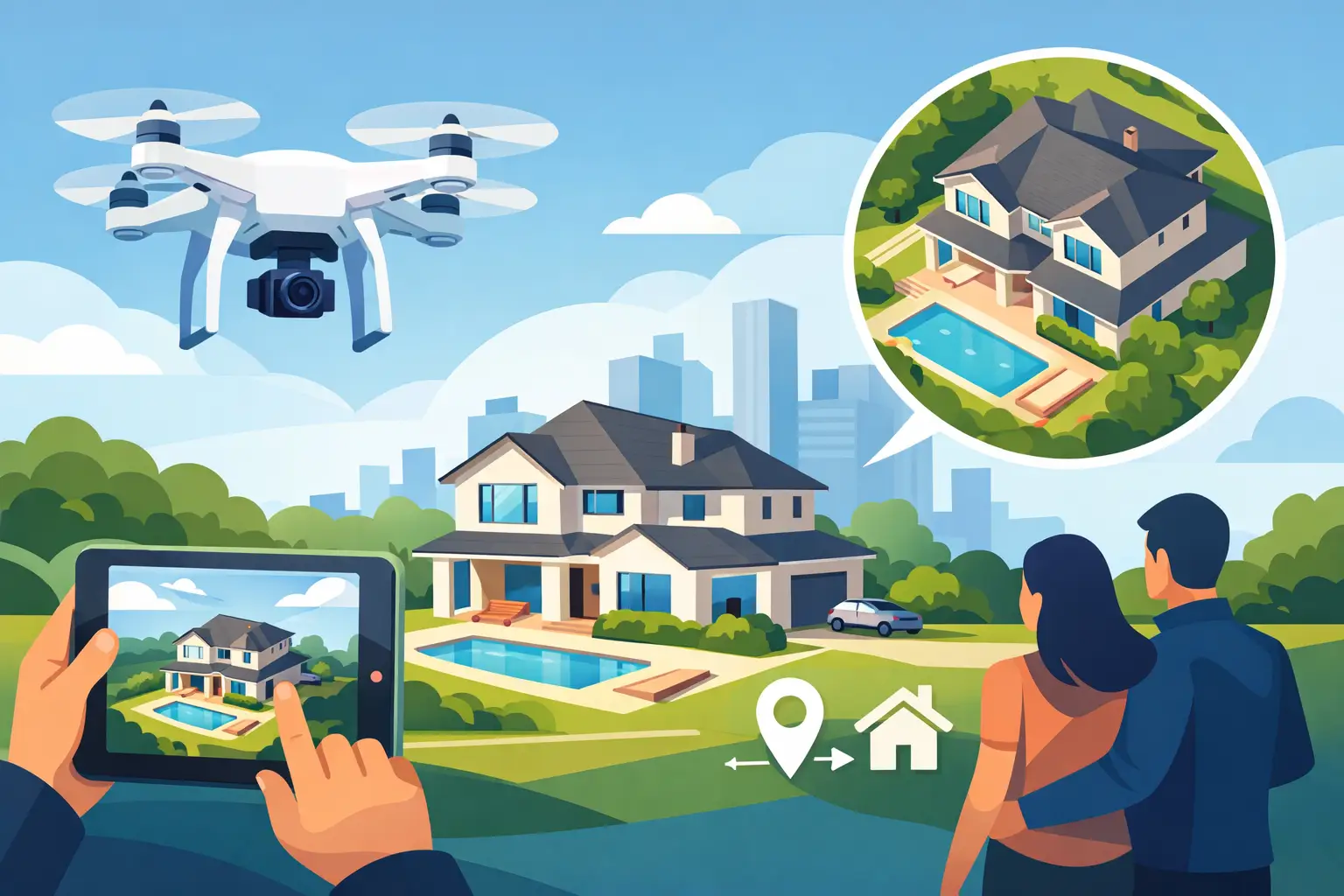
A buyer scrolling past a standard exterior photo may never understand what makes a property special: the private acreage behind it, the walkable downtown location, the mountain backdrop, or the way the home sits at the end of a quiet lane. Real estate drone photography solves that problem when it gives buyers immediate context and a reason to click deeper.
For listing agents, the goal is not simply to add impressive aerial images. The goal is more listing attention, more qualified showings, and a stronger case for the home’s price. Aerial media earns its place in the marketing package when it answers the questions buyers already have before they schedule a tour.
Why real estate drone photography earns attention
Ground-level photography shows the home. Drone photography shows the property’s position, scale, and relationship to everything around it. That distinction matters most when location is part of the value proposition.
A well-framed aerial image can show that a home has a large usable backyard, a detached garage, a pool, a corner lot, or acreage that is hard to understand from the street. It can also place the listing near a park, vineyard, trail, school, downtown district, or mountain view. Those details help buyers quickly decide whether the property belongs on their short list.
This is especially useful across the Shenandoah Valley, where a listing’s setting can be a major selling point. A home in Crozet may benefit from a clear view of its lot and surrounding foothills. A Waynesboro property near green space may need an aerial angle that explains access and proximity without making assumptions. A rural listing outside Staunton or Harrisonburg may need wide images that make its land feel as valuable as it is.
The trade-off is simple: not every home needs a drone package. On a tightly packed street with no meaningful view, yard, or nearby amenity, aerials may add less value than twilight photography, floor plans, or stronger interior coverage. Choose the media that best supports the listing story rather than adding services by habit.
What buyers need to see from above
The strongest aerial images are specific. They make one useful point at a time instead of trying to show every feature in a single distant shot.
For many residential listings, that means a hero image that establishes the home and lot, followed by a lower oblique angle that shows the backyard or outdoor living area. If the location is a key draw, a higher contextual image can show the relationship to a trail, lake, downtown area, or other recognizable feature. The final gallery should feel intentional, not like a collection of random flyovers.
Aerial video can take this further when the home has movement and setting worth revealing. A gradual approach to the front elevation, a pass over a long driveway, or a controlled rise that reveals views can create a stronger emotional first impression than a static exterior image alone. Keep it short. Listing video performs best when every second gives the buyer new information.
Avoid images that create confusion. A drone shot taken too high can make a home disappear. An angle that emphasizes nearby commercial buildings, a busy road, or a neighbor’s cluttered yard can work against the listing. Honest marketing does not mean unflattering marketing. It means choosing accurate angles that present the home’s genuine advantages clearly.
Plan the shoot around the property’s selling points
The best drone results start before the aircraft leaves the ground. During the booking and prep process, identify the two or three features that make the property competitive. That gives the photographer a practical shot plan and prevents the common mistake of treating every listing exactly the same.
Start with the listing’s location. Is the buyer buying privacy, convenience, views, land, outdoor space, or a neighborhood lifestyle? Then consider what is difficult to communicate from eye level. A deep lot may look ordinary from the front. A home close to amenities may need a wider frame to make that benefit obvious. A property with a creek, garden, barn, workshop, or expansive deck needs an angle that shows how that feature connects to the home.
Timing affects the result, too. Bright midday sun can create harsh roof glare and heavy shadows. Early or late light often gives the property more shape and warmth, though weather, tree cover, and the home’s orientation all matter. For a listing with a dramatic western view, a late-day aerial can be worth scheduling around. For a property where the front elevation faces east, morning may be the better choice.
Before the appointment, make sure vehicles, trash bins, lawn equipment, and temporary signs are moved when possible. Drone images cover more ground than standard exterior photos. A quick cleanup of the driveway, patio, and yard protects the polished look agents expect from the rest of the listing media.
Safety and compliance are part of professional service
Aerial marketing is not a shortcut for getting higher images. Commercial drone work requires trained operation, thoughtful flight planning, and compliance with applicable rules. That includes checking airspace, weather, property conditions, and nearby obstacles before a flight.
This matters in practice around airports, heliports, event venues, and dense areas where flight restrictions or safety concerns can limit what is possible. A professional should be ready to explain when a requested shot is not appropriate, when authorization is needed, or when weather makes a flight unsafe. That is not a failed deliverable. It is the difference between dependable listing media and unnecessary risk.
Agents can help by sharing property access details early. Note gates, livestock, power lines, unusual terrain, nearby airports, or neighbors with active construction. A few details upfront reduce delays and make it easier to capture the useful angles during the scheduled visit.
Build a media package that supports the price point
Drone photography should work with the rest of the listing package, not compete with it. Interior and exterior photography create the core visual record. Floor plans help buyers understand layout and flow. A 3D virtual tour can keep remote buyers engaged longer. Twilight images can make a premium exterior feel more memorable.
For a move-up home with a strong lot, professional photography plus aerials and a floor plan is often a practical starting point. For a higher-end property, drone video and twilight coverage may strengthen the presentation further. For a condo or townhome with limited exterior differentiation, aerial coverage may be less urgent unless the nearby setting is a clear advantage.
Think about the listing appointment, too. A consistent media menu helps agents explain their marketing plan with confidence. Instead of promising to “put it online,” you can show sellers how the home will be positioned: polished interiors, accurate layout information, and aerial context where it helps buyers see the full value. That supports your brand before the property is even live.
Villa Views approaches listing media as a practical sales tool, with clear options and a process built for agents who need reliable production without extra back-and-forth. The right package is the one that makes the listing easier to understand and harder to ignore.
Measure the result beyond the aerial image
A drone photo may earn an immediate reaction, but the business value shows up in what happens next. Watch listing views, saves, inquiries, showing requests, feedback, and the quality of buyer questions. If buyers arrive already asking about the acreage, detached garage, or walkable location, the visuals have done useful pre-showing work.
You will not be able to attribute every offer to one image. Price, condition, inventory, and marketing distribution all influence results. Still, better visual context reduces uncertainty. Buyers who understand a property’s setting before they visit are more likely to schedule a showing for the right reasons.
For your next listing, identify the feature a buyer cannot fully understand from the curb. If an aerial view makes that advantage clear in one second, real estate drone photography is not an add-on. It is part of the sales strategy.
Listing photos that sell homes faster.
Professional real estate media with 24-hour delivery across Waynesboro, Staunton, and the Shenandoah Valley.
Book a Shoot